Data-driven urban transformation for Africa.
We combine geospatial mapping, engineering, and civic technology to help cities and communities make transparent, informed decisions.
We combine geospatial mapping, engineering, and civic technology to help cities and communities make transparent, informed decisions.
StayGIS is a multidisciplinary consultancy and civic-tech platform combining geospatial intelligence, engineering, and urban planning to design resilient and transparent solutions across Africa.

StayGIS is a multidisciplinary consultancy and civic-tech platform combining geospatial intelligence, engineering, and urban planning to design resilient and transparent solutions across Africa.

We collect, analyse, and visualise spatial data to give decision-makers a clear picture of the ground beneath their feet.

We design and assess roads, utilities, drainage, and public assets — engineering the backbone of resilient cities.

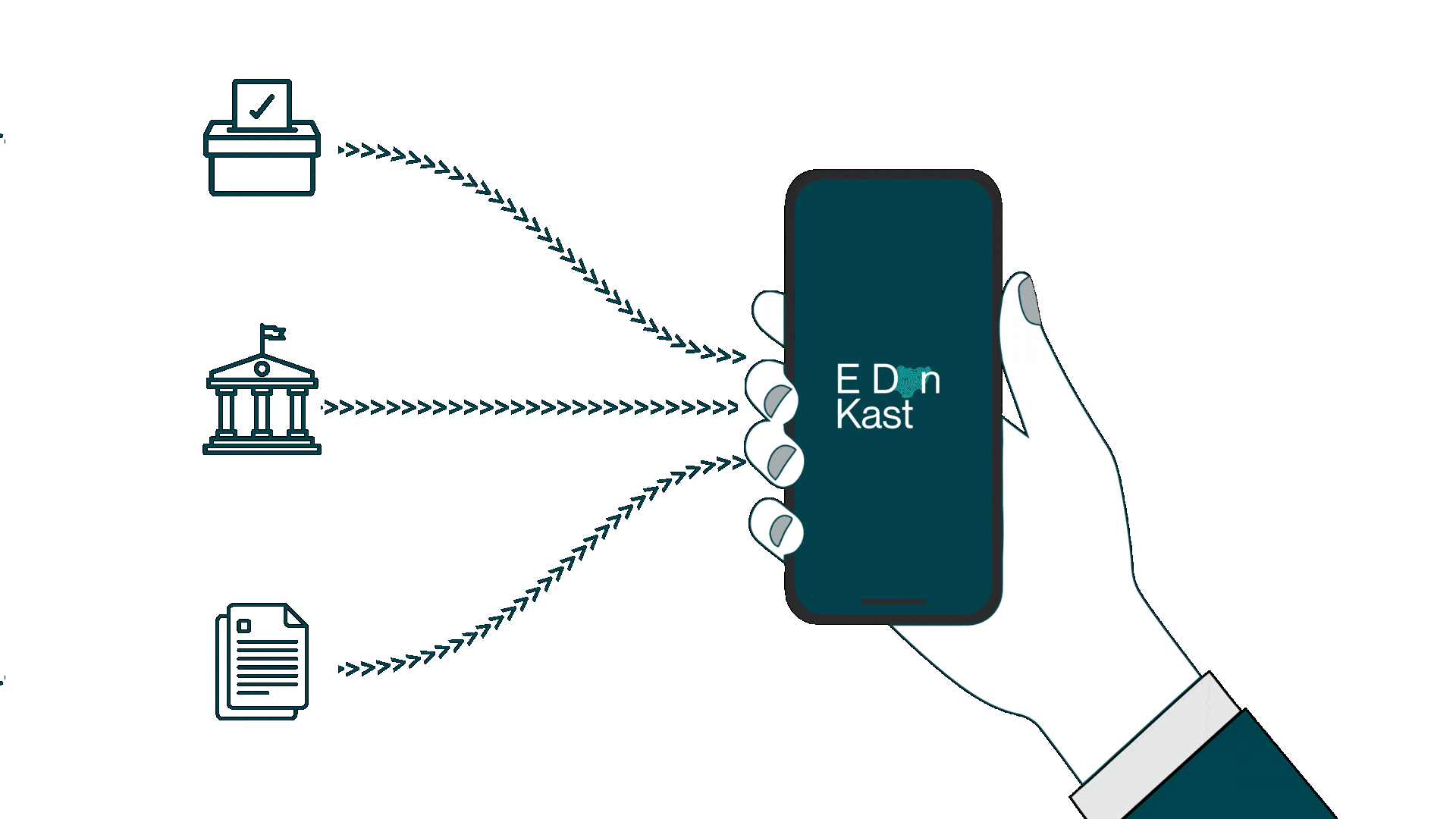
We build digital tools that put public data in public hands, enabling citizen participation and government accountability.

We apply GIS-integrated performance metrics to infrastructure challenges, turning data into engineering decisions.
Democracy works better when data is open and participation is easy. StayGIS builds civic platforms that bring transparency to elections, land records, public services, and more — putting trusted information in the hands of citizens and institutions alike.
Across Nigeria and beyond, StayGIS is turning spatial data into solutions that people can see, touch, and depend on.

Transparent electoral boundary data for accountable governance — giving citizens and institutions a shared source of truth.
Whether you're a government agency, development organisation, or research institution — StayGIS is ready to partner with you. Bring us your urban challenge. We'll bring the data, the tools, and the expertise.
Data-driven urban transformation for Africa. We combine geospatial intelligence, engineering, and civic technology to build resilient, transparent cities.
© 2026 StayGIS. All rights reserved.